The project aims to demonstrate the applicability on a municipal scale of the European “no net land take” strategy.
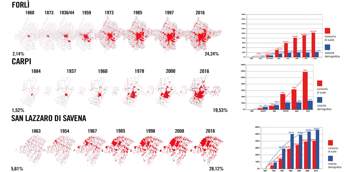
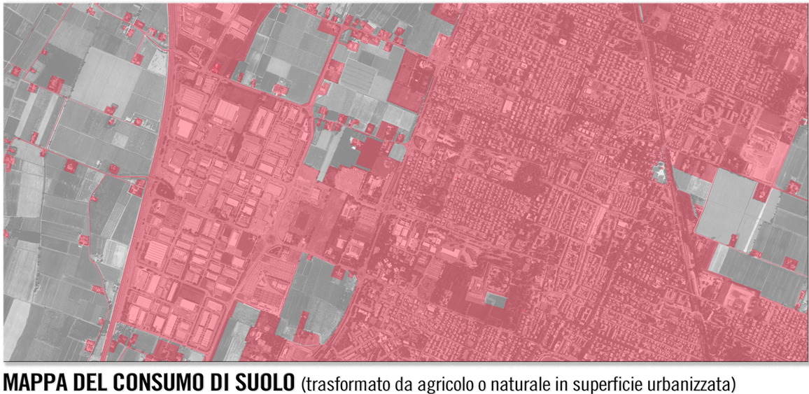
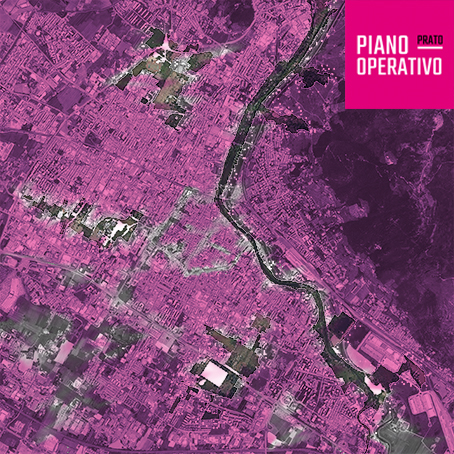
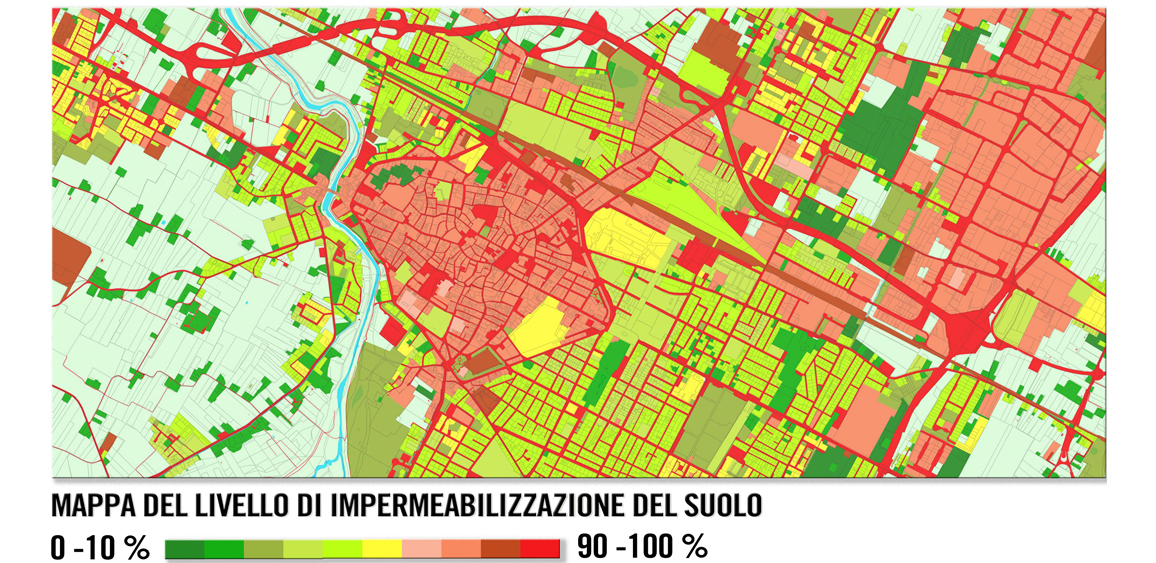
Each of the 3 municipalities involved, has measured the level of land take and soil sealing, reconstructing the current situation and the historical evolutionary dynamics of the phenomenon. These data are functional to the construction of a monitoring system that can be replicated on a regional scale.
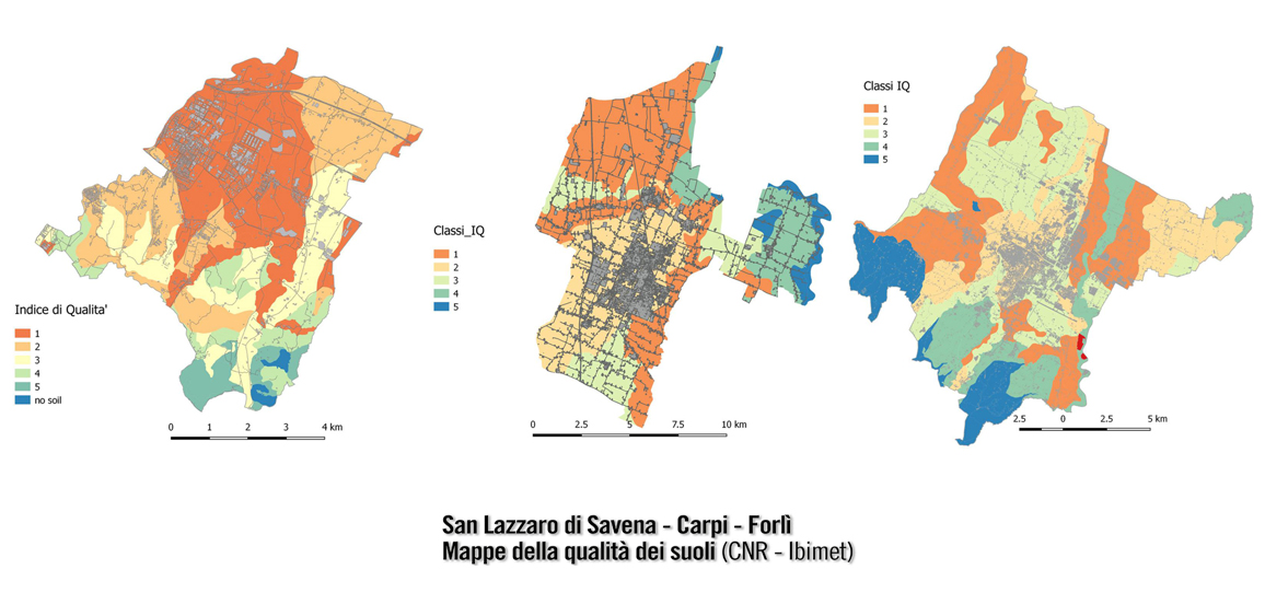
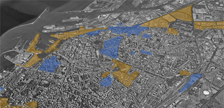
Thematic maps of the main ecosystem services have been prepared and the impact of urban expansion in terms of loss of ecosystem services has been estimated.
A specific study, which has concerned the territory of Carpi, has made it possible to assess the quantity and quality of ecosystem services that can be provided by the various types of urban land wich are not waterproofed.
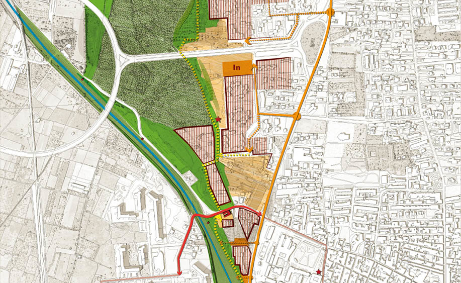
The project involves the drafting of new municipal planning tools containing rules to limit, mitigate and compensate for land take, to encourage urban regeneration and to make the city more resilient to climate change.
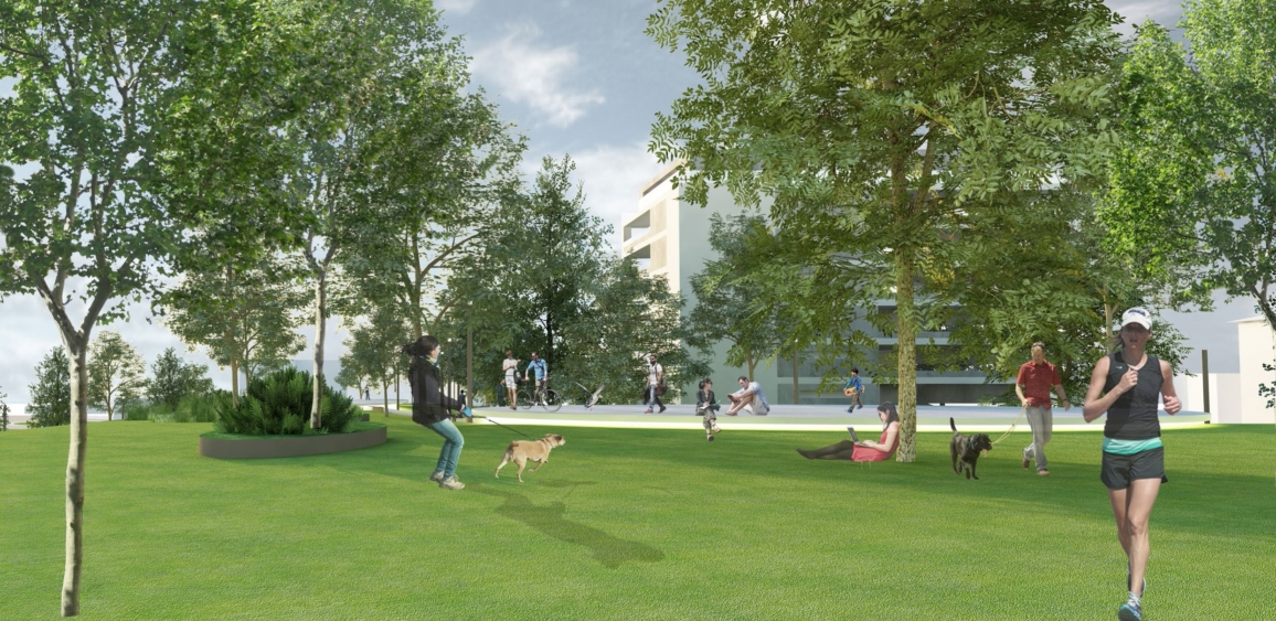
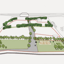
There are also 3 “de-sealing” interventions of sealed surfaces with green arrangement (one for each Municipality). The objective is to demonstrate the possibility of restoring some ecosystem services and re-use top soil from other areas subject to transformation: it is possible, therefore, to create a virtuous circle between new urbanizations and compensatory interventions.
Italiano
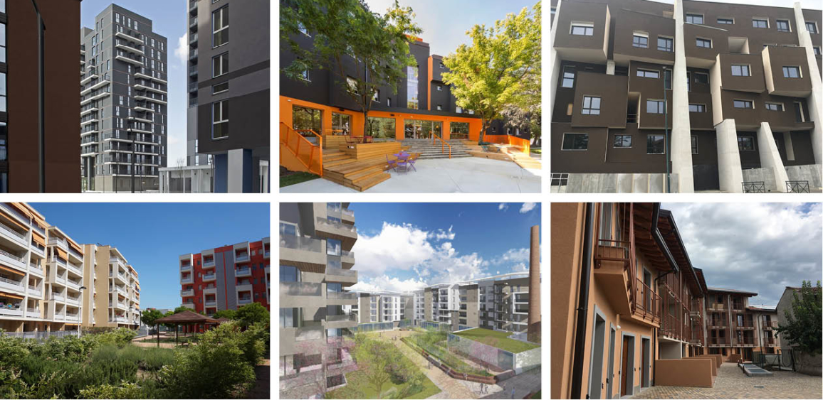
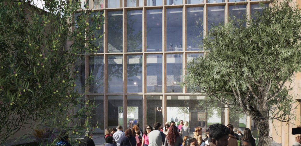
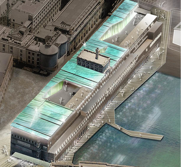
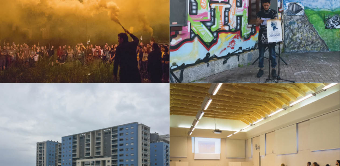
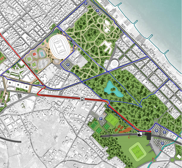
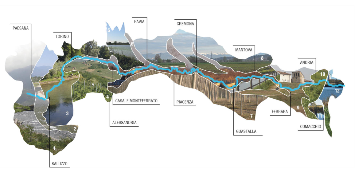
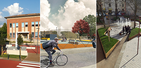
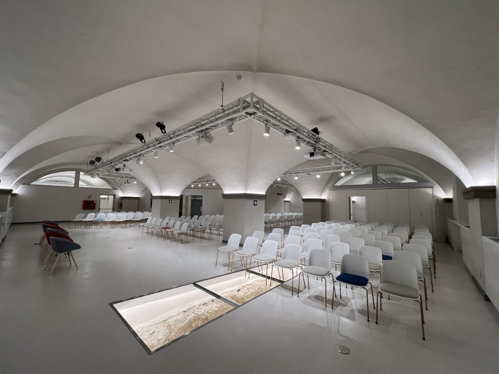
Photo gallery