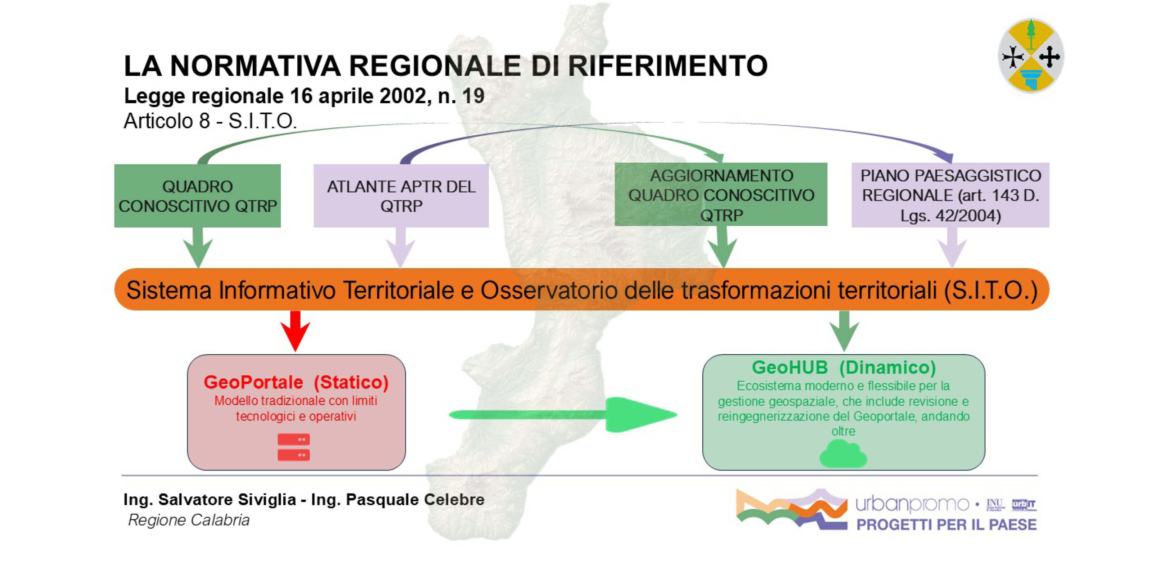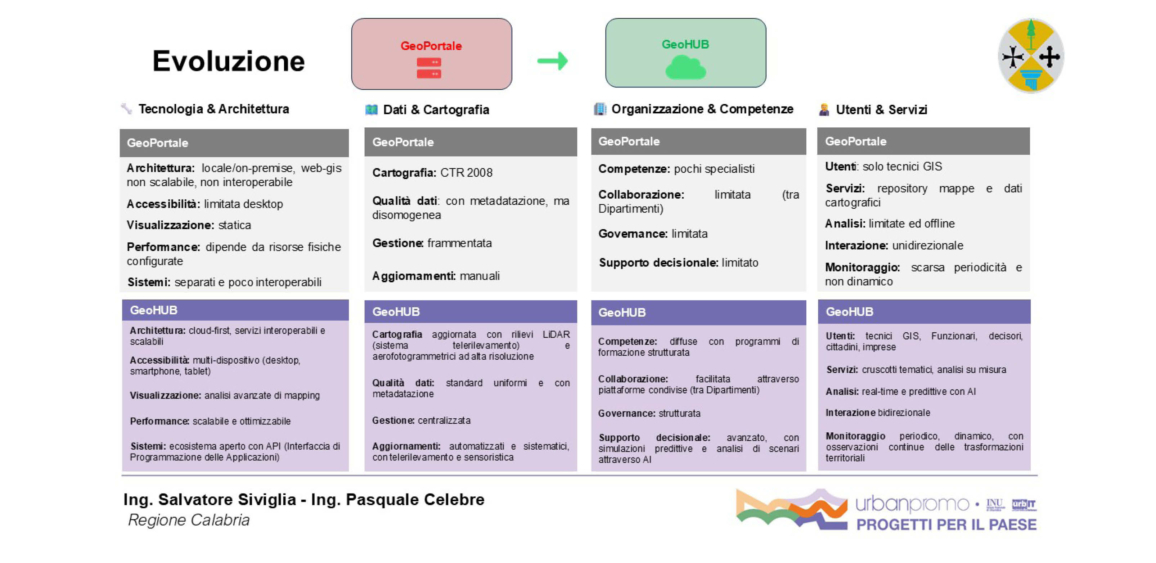

The GeoHUB Calabria project was born with the goal of transforming the current regional Geoportal into a modern ecosystem for managing and enhancing local data, supporting organizations, businesses, and citizens. The program will include the implementation of a cloud infrastructure that will integrate advanced AI, remote sensing, BIM, and IoT tools.
The overall strategy will be based on territorial data governance, centralization of databases, updating of the Regional Technical Charter, and development of vertical solutions for the regional departments responsible for Environment, Agriculture, Infrastructure, Economic Development, and Urban Planning. Each solution will be supported by a Proof of Concept (POC), aimed at validating digital methodologies and processes that can be replicated throughout the region.
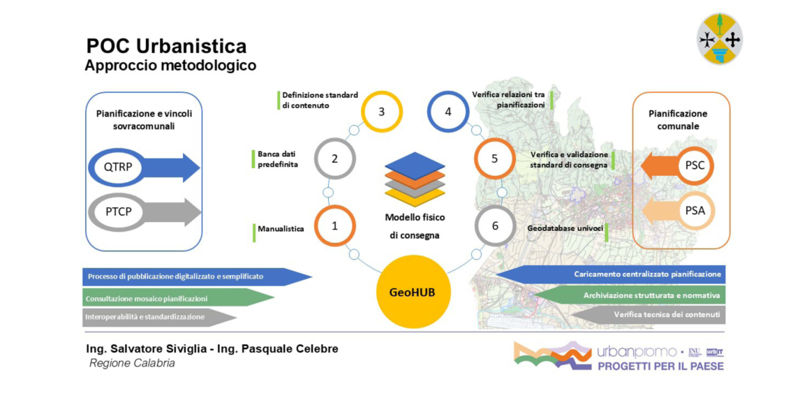
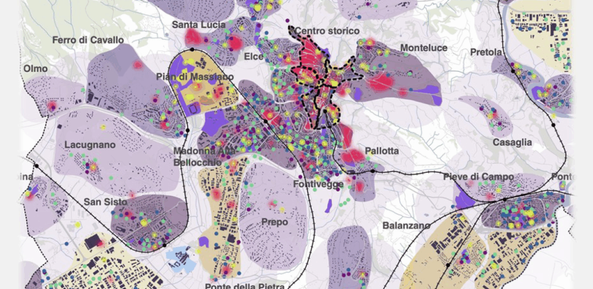
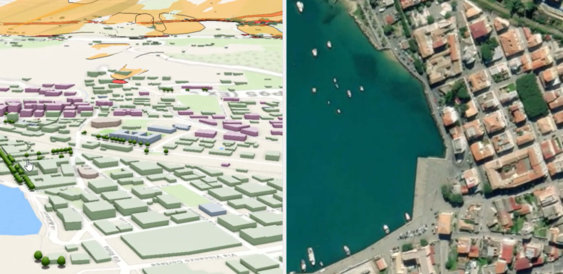
The planned POCs include the development of an urban planning system (Urban Planning POC), focused on the mosaic of Municipal Structural Plans, single or in Associated form (PSC/PSA), with the aim of digitizing the flow of delivery and verification of plans, standardizing geographical data and promoting coherence between the aforementioned municipal and supra-municipal plans, such as the Regional Territorial Framework with Landscape value (QTRP) and Provincial or Metropolitan Territorial Coordination Plan (PTCP/PTCM).
The pilot study is conducted on the Lamezia Terme PSC and includes analysis activities, definition of the physical data model, creation of a Municipality–Region interchange platform, and development of web applications and dashboards to monitor the state of territorial planning.
Overall, GeoHUB represents the Calabria Region’s new territorial digital infrastructure, focused on interoperability, open data, and sustainability, laying the foundation for local governance based on shared knowledge, transparency, and innovation.
Italiano
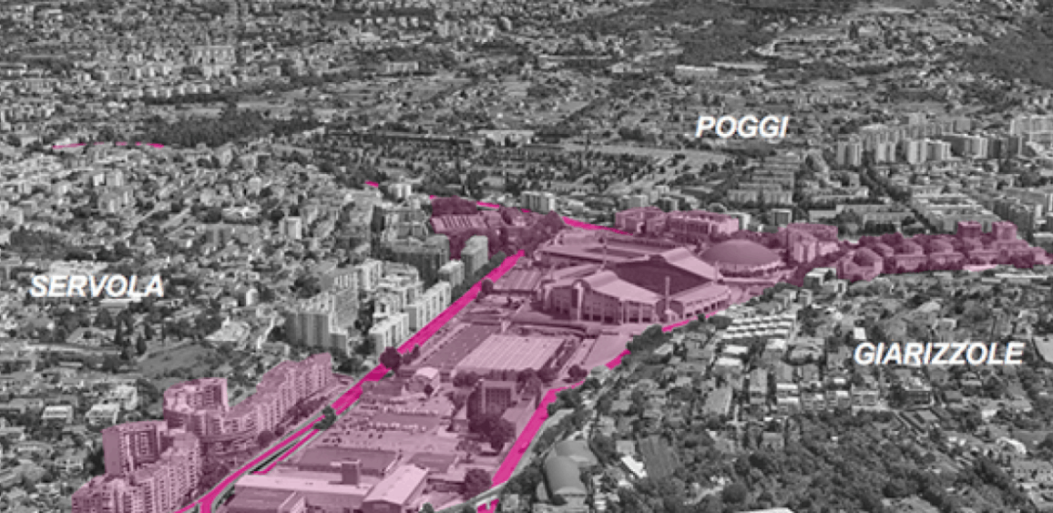
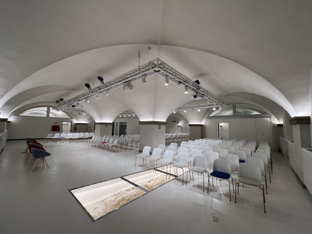
Photo gallery